
IDENTIFIKASI ZONA RESERVOAR PANAS BUMI BERDASARKAN ANALISIS FAULT FRACTURE DENSITY CITRA DIGITAL ELEVATION MODEL ALOS PALSAR DI GUNUNG RAJABASA
IDENTIFICATION OF GEOTHERMAL RESERVOIR ZONE BASED ON FAULT FRACTURE DENSITY ANALYSIS OF DIGITAL ELEVATION MODEL ALOS PALSAR IMAGE IN MOUNT RAJABASA
Abstract
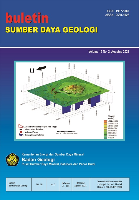
Mount Rajabasa is one of the geothermal fields in Sumatra that has not been exploited until now. The existence of manifestations in this area is an indication of the potential existence of geothermal reservoirs. This study aims to identify high permeability zones based on Fault Fracture Density (FFD) analysis and to analyze the relationship between the characteristics of the geothermal fluid path structure to the surface and the potential location of the geothermal reservoir. The FFD method is carried out using the Digital Elevation Model (DEM) ALOS PALSAR image to map the lineaments associated with fault zones and fractures, especially in the manifestation area. Field observations were made to confirm the FFD results. The dominant direction of the identified structures is partially aligned and in line with the Sumatra fault system, namely the northwest-southeast direction and partly shows a response that intersects the main fault system. Furthermore, the results of the FFD analysis show a significant relationship between the weak zone (fracturing) and the geothermal reservoir zone as indicated by the high structural density pattern in the upflow zone in the Way Sulfur manifestation, while the outflow zone in the hot springs of Mount Botak is at a low structural density.
Downloads
References
Barber, A.J., Crow, M.J., Milsom, J.S., 2005. SUMATRA : Geology, Resources and Tectonic Evolution. The Geological Society, London.
Bronto, S., Asmoro, P., Hartono, G., Sulistiyono, S., 2012. Evolution of Rajabasa Volcano in Kalianda Area and Its Vicinity, South Lampung Regency. Indones. J. Geosci. 7, 11–25. https://doi.org/10.17014/ijog.v7i1.132
Budiardjo, B., Masdjuk, Leonardus, A.M.N., 1995. Detailed Geological report Rajabasa Mountain area, Lampung.
Bujung, C.A.N., Singarimbun, A., Muslim, D., Hirnawan, F., Sudradjat, A., 2011. Identifikasi prospek panas bumi berdasarkan Fault and Fracture Density ( FFD ): Studi kasus Gunung Patuha , Jawa Barat. J. Lingkung. dan Bencana Geol. 2, 67–75.
Chemong, C.A., Chenrai, P., 2013. Fracture density analysis in the sai yok fault, western thailand and its implications for hydrological exploration. Res. J. Appl. Sci. 8, 125–130. https://doi.org/10.3923/rjasci. 2013.125.130.
Darmawan, I.G.B., Setijadji, L.D., Wintolo, D., 2015. Geology and Geothermal System in Rajabasa Volcano South Lampung Regency, Indonesia (Approach to Field Observations, Water Geochemistry and Magnetic Method), in: Proceedings World Geothermal Congress.
Darmawan, I.G.B., Setijadji, L.D., Wintolo, D., 2013. Interpretasi Geologi Gunung Rajabasa Berdasarkan Integrasi Citra Aster, DEM dan Geologi Permukaan, in: Prosiding Seminar Nasional Kebumian Ke-6. hal. 285–298.
Das, A., Agrawal, R., Mohan, S., 2015. Topographic correction of ALOS-PALSAR images using InSAR-derived DEM. Geocarto Int. 30, 145–153. https://doi.org/10.1080/10106049.2014.883436.
Kusumasari, B.A., 2011. Geology surrounding areas Waymuli geochemical geothermal fluid in Mountain Rajabasa, South Lampung Regency, Lampung Province. Skripsi, Institut Teknologi Bandung.
Liu, J.G., Mason, P.J., 2013. Essential image processing and GIS for remote sensing, Essential Image Processing and GIS for Remote Sensing. wiley. https://doi.org/10.1002/9781118687963.
Mangga, S.A., Amirudin, Suwarti, T., Gafoer, S., Sidarto, 1993. Geological Map of Tanjungkarang, Sumatra. Geological Research and Development Centre, Bandung.
Rosenqvist, A., Shimada, M., Suzuki, S., Ohgushi, F., Tadono, T., Watanabe, M., Tsuzuku, K., Watanabe, T., Kamijo, S., Aoki, E., 2014. Operational performance of the ALOS global systematic acquisition strategy and observation plans for ALOS-2 PALSAR-2. Remote Sens. Environ. 155, 3–12. https://doi.org/10.1016/j. rse.2014.04.011.
Samsonov, S., 2010. Topographic correction for ALOS PALSAR interferometry. IEEE Trans. Geosci. Remote Sens. 48, 3020–3027. https://doi.org/10.1109/TGRS.2010.2043739.
Shimada, M., Itoh, T., Motooka, T., Watanabe, M., Shiraishi, T., Thapa, R., Lucas, R., 2014. New global forest/non-forest maps from ALOS PALSAR data (2007-2010). Remote Sens. Environ. 155, 13–31. https://doi.org/10.1016/j.rse.2014.04.014.
Suryantini, Wibowo, H., 2010. Application of Fault and Fracture Density (FFD) Method for Geothermal Exploration in Non-Volcanic Geothermal System; a Case Study in Sulawesi-Indonesia, in: Proceedings World Geothermal Congress 2010 Bali, Indonesia. hal. 1–9.
Tripp, G.I., Vearncombe, J.R., 2004. Fault/fracture density and mineralization: A contouring method for targeting in gold exploration. J. Struct. Geol. 26, 1087–1108. https://doi.org/10.1016/j.jsg.2003.11.002.
Whittle, M., Quegan, S., Uryu, Y., Stüewe, M., Yulianto, K., 2012. Detection of tropical deforestation using ALOS-PALSAR: A Sumatran case study. Remote Sens. Environ. 124, 83–98. https://doi.org/10.1016/j.rse.2012.04.027.
Copyright (c) 2021 Buletin Sumber Daya Geologi

This work is licensed under a Creative Commons Attribution-NonCommercial-ShareAlike 4.0 International License.
Authors whose manuscripts are published agree to the following terms:
The publication rights of all journal manuscript materials published on the Buletin Sumber Daya Geologi website are held by the editorial board with the knowledge of the author (moral rights remain with the manuscript’s author).
The formal legal provisions for access to digital articles in this electronic journal are subject to the terms of the Creative Commons Attribution-ShareAlike (CC BY-SA) license. This means that Buletin Sumber Daya Geologi has the right to store, convert media/formats, manage in the form of a database, maintain, and publish the article without requesting permission from the author, as long as the author’s name is cited as the copyright holder.
Manuscripts published in both print and electronic formats are open access for educational, research, investigative, and library purposes. Beyond these purposes, the editorial board is not responsible for any violations of copyright law.